


Voting District 280011, Oneida County, New York
About
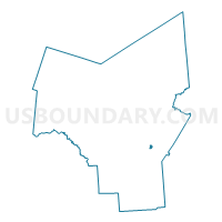
Outline

Summary
| Unique Area Identifier | 632905 |
| Name | Voting District 280011 |
| County | Oneida County |
| State | New York |
| Area (square miles) | 0.34 |
| Land Area (square miles) | 0.34 |
| Water Area (square miles) | 0.00 |
| % of Land Area | 100.00 |
| % of Water Area | 0.00 |
| Latitude of the Internal Point | 43.10776510 |
| Longtitude of the Internal Point | -75.27479360 |
Maps


Graphs
Select a template below for downloading or customizing gragh for Voting District 280011, Oneida County, New York


Neighbors
Neighoring Voting District (by Name) Neighboring Voting District on the Map
- Voting District 150202, Oneida County, NY
- Voting District 280001, Oneida County, NY
- Voting District 280002, Oneida County, NY
- Voting District 280003, Oneida County, NY
- Voting District 280010, Oneida County, NY
Top 10 Neighboring County Subdivision (by Population) Neighboring County Subdivision on the Map
Top 10 Neighboring Place (by Population) Neighboring Place on the Map
Top 10 Neighboring Unified School District (by Population) Neighboring Unified School District on the Map
- Utica City School District, NY (62,275)
- Whitesboro Central School District, NY (26,133)
- New York Mills Union Free School District, NY (5,549)